

Computing for the Social Sciences
Other Courses to Consider
These courses might also be of interest.
 Approaches to Social Science Research Design
This course explores critical foundations of social science research design. It will place an emphasis on how social scientists identify and create data to empirically examine social phenomena through a variety of different theoretical and methodological approaches. It will cover the relationship between research questions, design, and generating data across different methodological and epistemological approaches in the social sciences.
Residential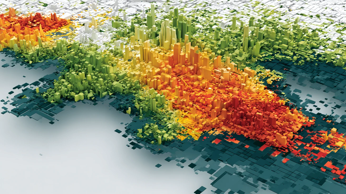 Introduction to GIS and Spatial Analysis
This course provides an introduction and overview of how spatial thinking is translated into specific methods to handle geographic information and the statistical analysis of such information. This is not a course to learn a specific GIS software program. The goal is to learn how to think about spatial aspects of research questions, as they pertain to how the data are collected, organized and transformed, and how these spatial aspects affect statistical methods. The focus is on research questions relevant in the social sciences, which inspires the selection of the particular methods that are covered. Examples include spatial data integration (spatial join), transformations between different spatial scales (overlay), the computation of “spatial” variables (distance, buffer, shortest path), geovisualization, visual analytics, and the assessment of spatial autocorrelation (the lack of independence among spatial variables). The methods will be illustrated by means of open source software such as QGIS and R.
Residential